Access Data

HABSOS coverage in the map viewer.
Interactive ArcGIS Map - search, view and download data
Download Data
Dataset Resources
How To Cite These Data: Refer to "Dataset Citation" of the Metadata Record
Contact: ncei.info@noaa.gov
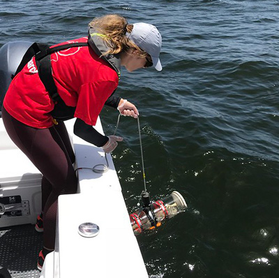
A Florida Fish and Wildlife scientist takes red tide samples. (FWC)
Background
The Harmful Algal BloomS Observing System (HABSOS) began as a pilot project in 2001 to focus on recent Karenia brevis blooms. This project identified a need for a harmful algal bloom observing network. Many individuals from state agencies and universities, US Environmental Protection Agency, and NOAA National Coastal Data Development Center (NCDDC) participated in this project. This product developed a strong partnership between these partners and NOAA National Centers for Environmental Information (formerly NCDDC).
HABSOS evolved into a database of HAB observations and associated environmental observations submitted by the partners who collect these data. These data are updated annually and made publicly available in the NCEI archive and via the interactive map viewer. NCEI’s HABSOS provides a research quality HAB dataset and HAB observations in near-real time.